01
Chart Data
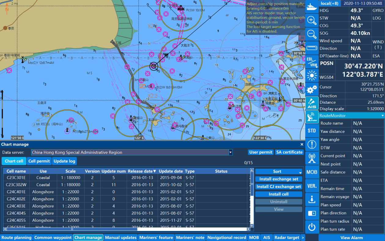
Supports S-57 and S-63 chart data issued by China MSA, UKHO, and other institutions.

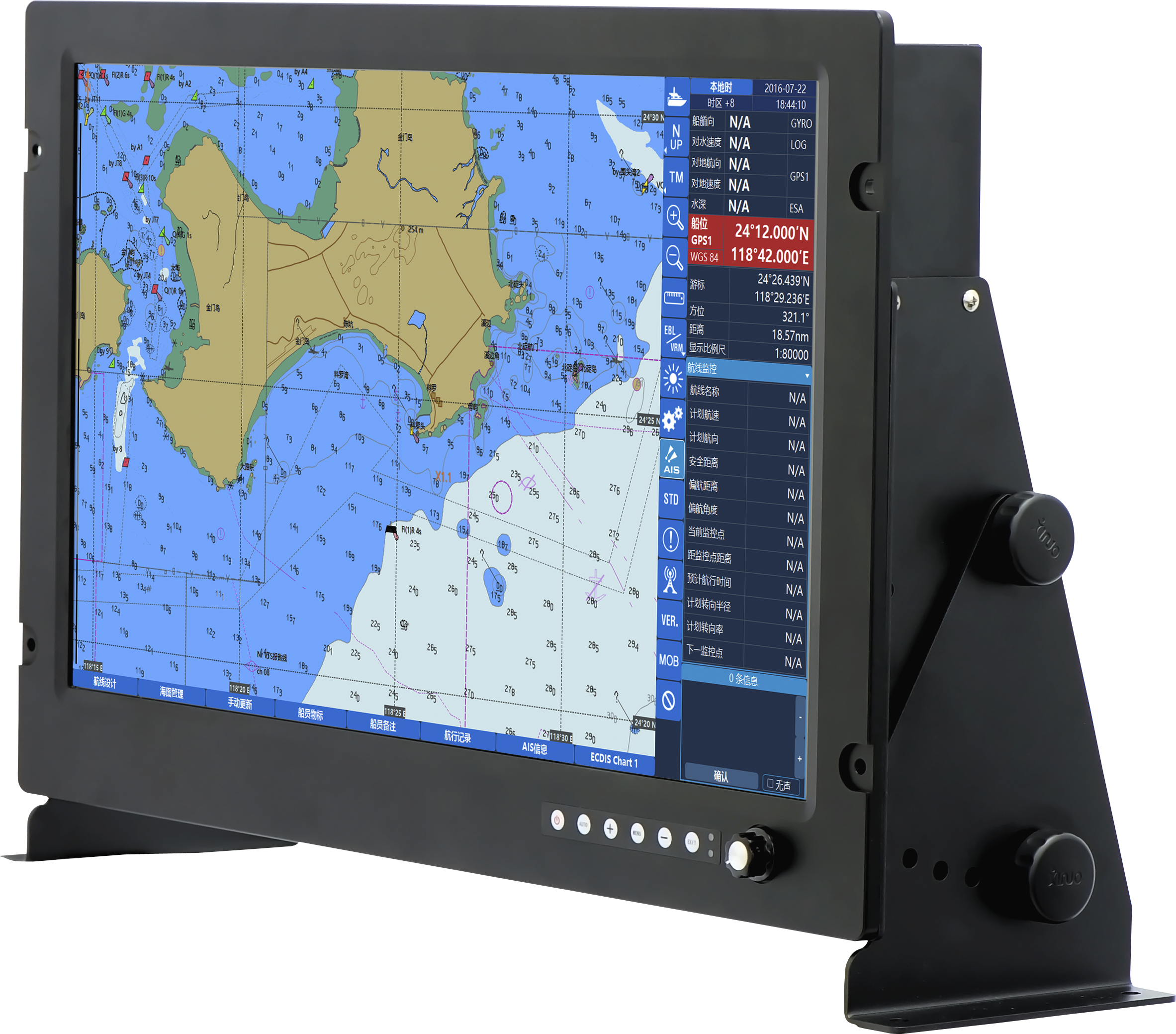
An ECDIS solution designed for electronic chart display, route planning, route safety checking, and navigation monitoring.
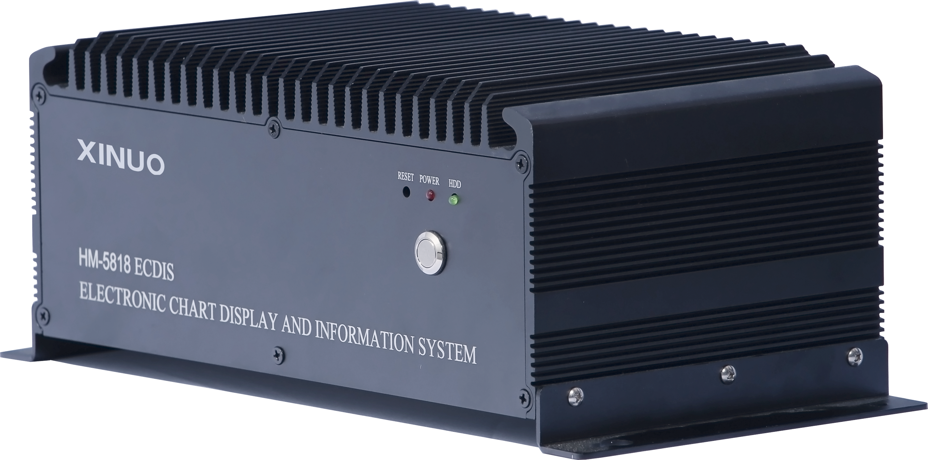
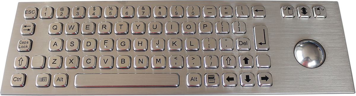
Inquiry →The HM-5818 Electronic Chart Display and Information System consists of a host and display. It provides electronic chart display and management together with route design, route detection, and navigation monitoring functions. Display options include 19-inch, 24-inch, and 26-inch high-definition displays.
Supports S-57 and S-63 chart data issued by China MSA, UKHO, and other institutions.
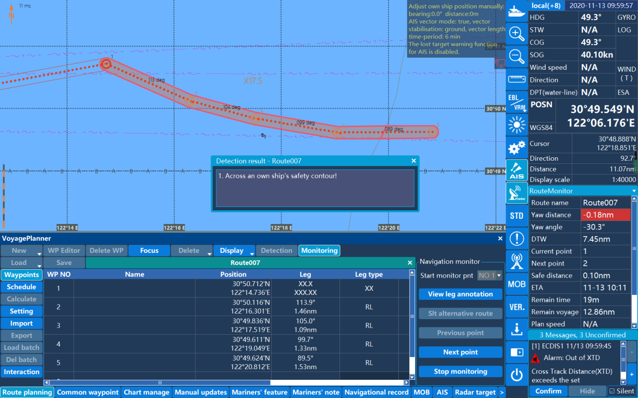
Supports route design and planning, expected departure and arrival times, speed over ground calculation, and checking for dangerous objects when a route is called for navigation.
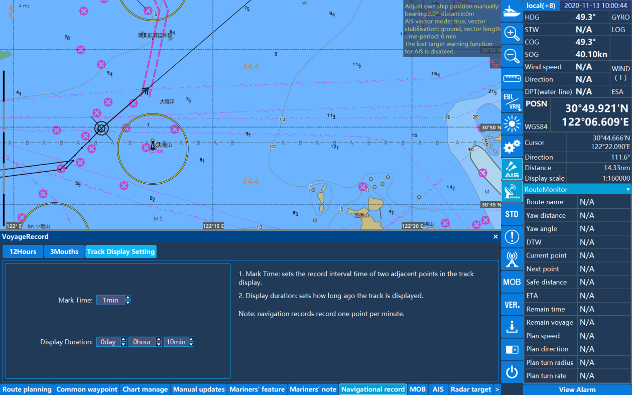
Records the vessel's own track and allows historical tracks to be selected for review.
Uses NMEA 0183 data communication and supports GNSS, AIS, HDG, DPT, and other sentence inputs for display.
Built-in 100Mbps / 1000Mbps Ethernet and optional 4G / 5G and WiFi modules support online software updates and internet services.
| Product Type | Electronic Chart Display and Information System (ECDIS) |
|---|---|
| System Configuration | Host and display |
| Display Options | 19-inch / 24-inch / 26-inch high-definition display |
| Operating System | Linux |
| Memory | 4GB RAM |
| Ethernet | 100Mbps / 1000Mbps |
| Optional Communications | 4G / 5G / WiFi modules |
| Electronic Chart Support | IHO S-57 Ed3.1 vector electronic chart; S-63 data protection scheme |
| Data Communication | NMEA 0183 |
| Supported Inputs | GNSS / AIS / HDG / DPT and other sentence inputs |
| Languages | Multilingual support, including Chinese and English |